|
SRML station: Twin Falls, ID |
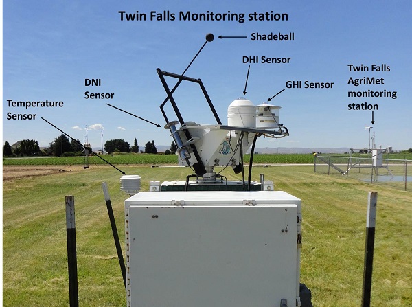
| View of the Twin Falls, Idaho, monitoring station. The view shown here is looking South at the station. The Twin Falls station is mounted on a two axis tracker and has a global horizontal, a diffuse horizontal, a direct normal, and a temperature sensor. On the right side of the picture in the distance, is the Twin Falls AgriMet monitoring station. |
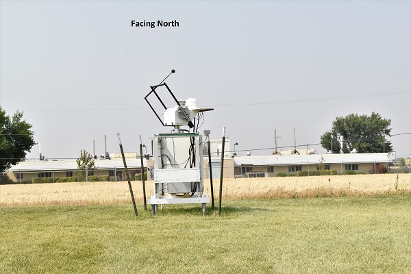
| Looking North at the station. |
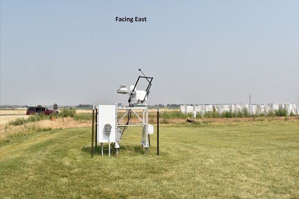
| Looking East at the station. The elevation of the Eastern horizon is 2 degrees. |
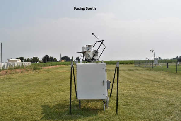
| Looking South at the station. The Twin Falls AgriMet site is visible in the distance on the right side of the picture. |
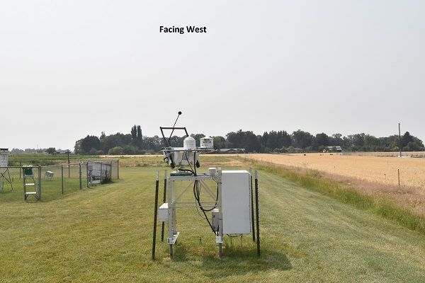
| Looking West at the station. The trees to the West are 4 degrees above the horizontal. |
|
| |||||
|
|
|
© 2022, UO Solar Radiation Monitoring Laboratory.
Home page URL: solardata.uoregon.edu |