
SRML stations: Burns, OR
Latitude: 43.519 (N)
Longitude: -119.022 (E+)
Altitude: 1270 m
Data download
| Current Month.zip | Previous Month.zip | 2026 (1-Min).zip | 2025 (1-Min).zip |
| 2020-2025 (1-Min).zip | 2012-2019 (1-Min).zip | 1995-2011 (5-Min).zip | 1979-1994 (60-Min).zip |
Measurement Code Dictionary Column element lookup table.
Station Maintenance
BUO Maintenance recordOlder station maintenance records not in digital format. Contact the SRML for more information.
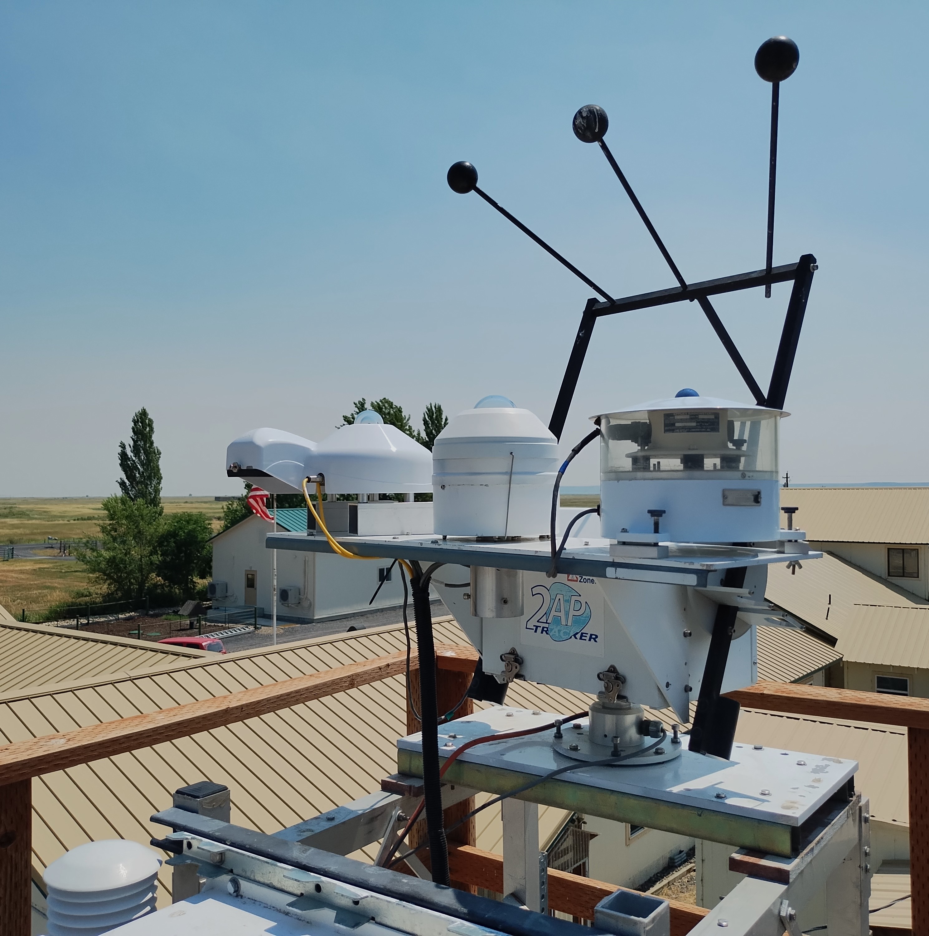
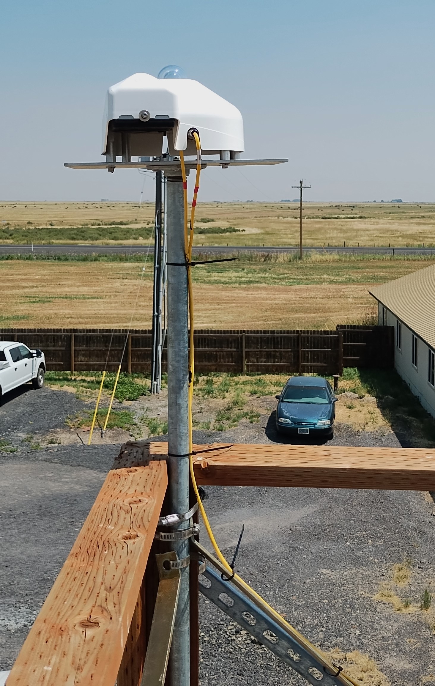
Sensor history
| Data type | Instrument | Calibration History | Period of record | |
| Solar radiation data | ||||
| Global | EKO MS-80 | S180030063 | 2019/08-now | |
| Eppley PSP | 17523F3 | 2001/08-2021/07 | ||
| Eppley PSP | 17846F3 | 1979/04-2001/08 | ||
| Direct normal | Eppley NIP | 17829E6 | 1987/07-now, 1979/04-1981/12 | |
| Eppley NIP | 18948E6 | 1983/09-1987/07 | ||
| Eppley NIP | 17668E6 | 1983/03-1983/09 | ||
| Eppley NIP | 21149E6 | 1981/12-1983/03 | ||
| Diffuse | Schenk Star (Black & White 848) | 1327 | 2019/08-now | |
| Calculated | 1979/04-2019/08 | |||
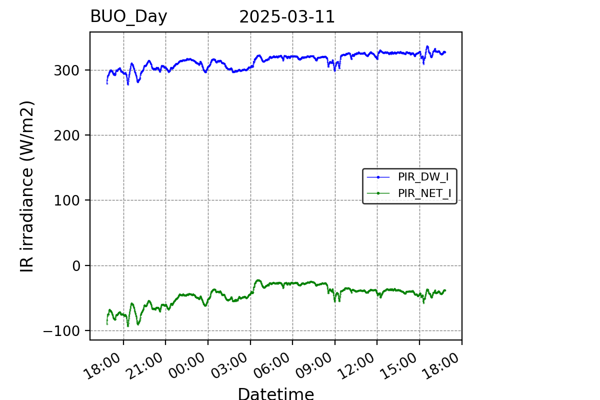
| Long Wavelength Down | Eppley PIR | 2021-now | ||
| Net IR | Eppley PIR | 2021-now | ||
| PIR Case Temperature | Eppley PIR | 2021-now | ||
| PIR Dome Temperature | Eppley PIR | 2021-now | ||
| Meteorological data | ||||
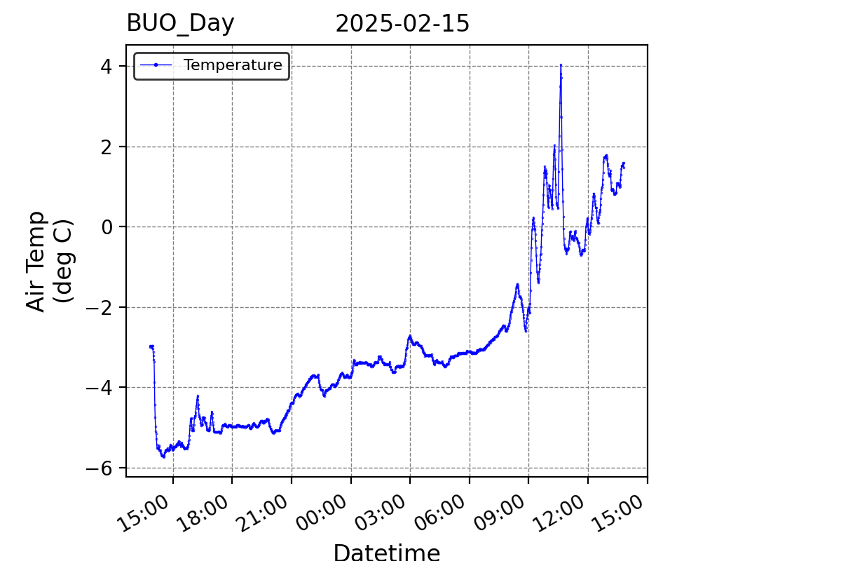
| Temperature | 1980-now | |||
Notes:
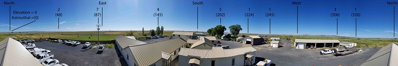
The Burns station is located at the Eastern Oregon Agricultural Research Center.
In April 1982, the Burns station moved from downtown Burns (lat. 43.58, long. 119.05, alt. 1295 m) to its present location.