
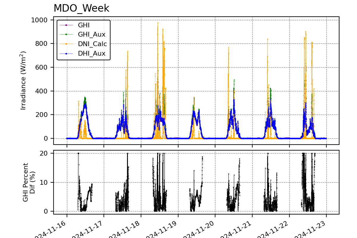
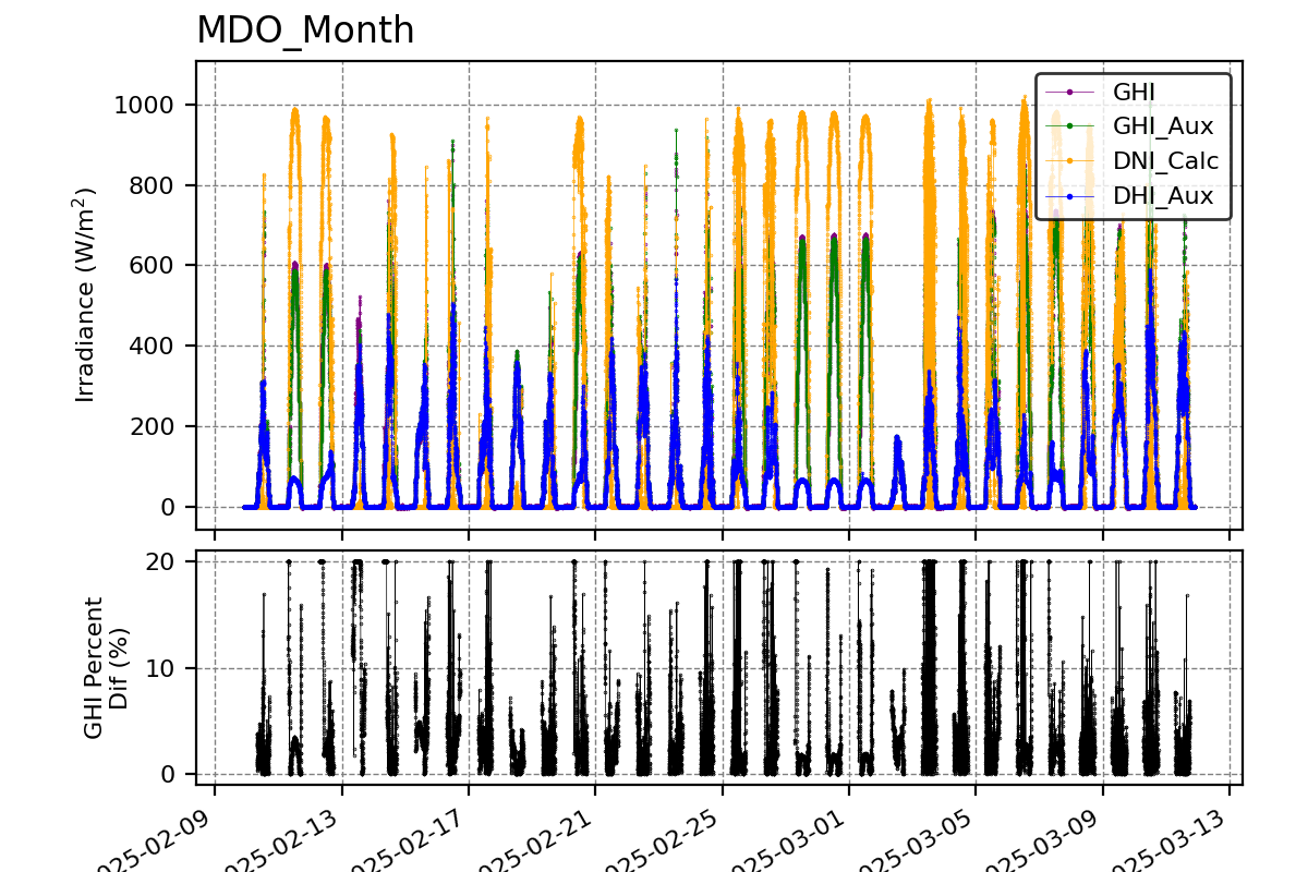
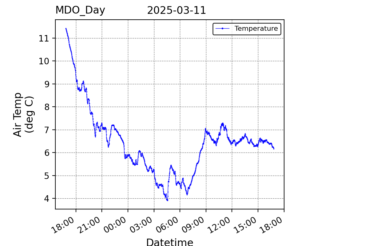
SRML stations: Madras, OR
Latitude: 44.623 (N)
Longitude: -121.143 (E)
Altitude: 683 m
Data download
| Current Month.zip | Previous Month.zip | 2026 (1-Min).zip | 2025 (1-Min).zip |
| 2023-2025 (1-Min).zip |
Measurement Code Dictionary Column element lookup table.
Station Maintenance
MDO Maintenance recordOlder station maintenance records not in digital format. Contact the SRML for more information.
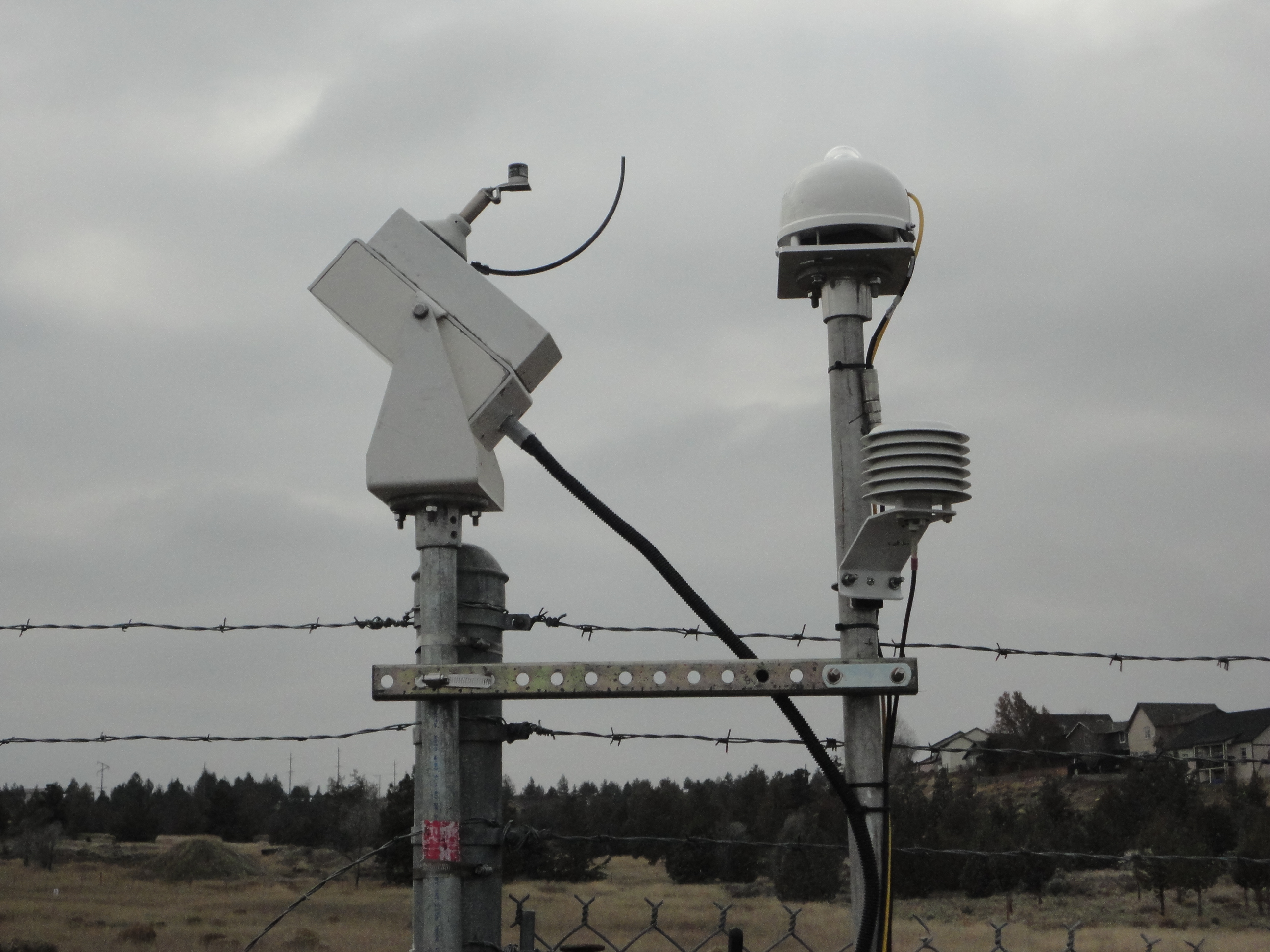
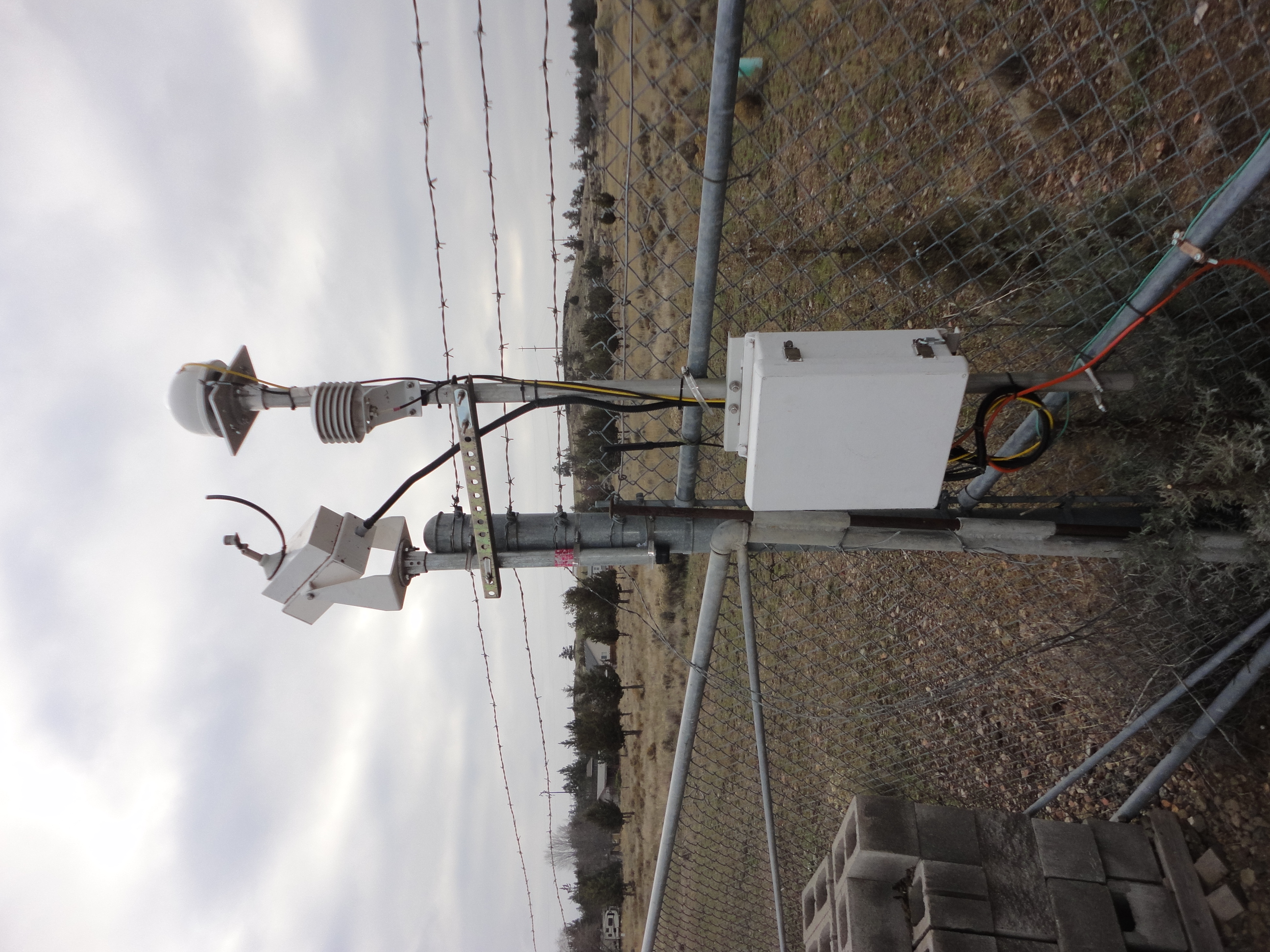
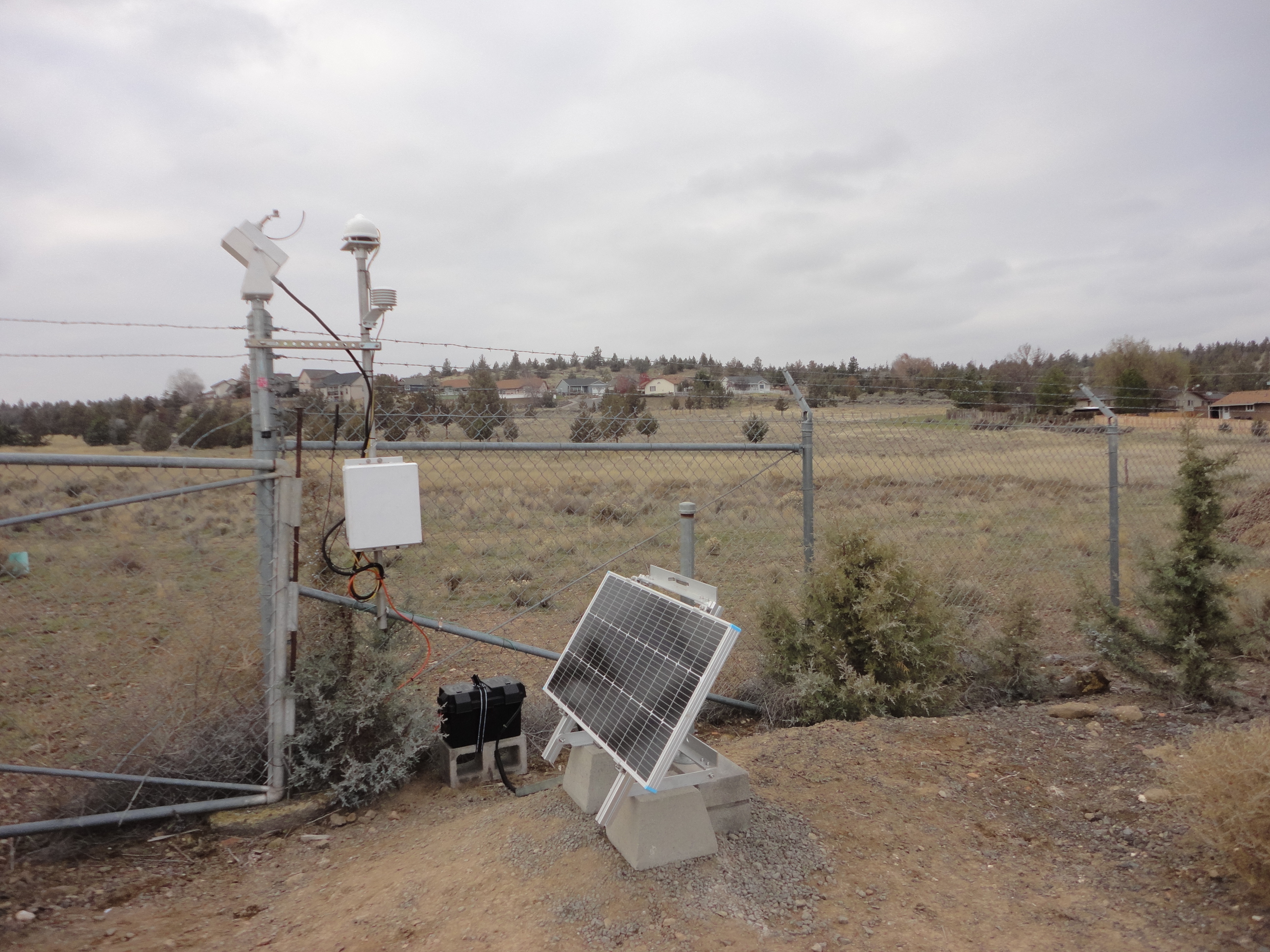
Station 2023 to present
For a current listing of the Madras instrumentation see the Madras comissioning report
The Madras station is located at the Deschutes Valley Water District. The SRML appreciates their assistance in hosting the station.
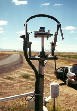
Station prior to 2023
NOTE: In 2023 the Madras station moved. Prior to 2023 the station was located at the Central Oregon Ag Research Center| Data type | Instrument | Data interval | Period of record |
| Solar radiation data | |||
| Global | LI-COR Pyranometer | 15 min. | 1994-2016 | 1 min. | 2017-2023 |
| Diffuse | LI-COR Pyranometer with shadowband | 15 min. | 1996-2016 | 1 min. | 2017-2023 |
| Meteorological data | |||
| Temperature | 15 min. | 1994-2016 | 1 min. | 2017-2023 |
| Rainfall | 15 min. | 1994-2016 | 1 min. | 2017-2023 |
| Wind speed | 15 min. | 1994-2016 | 1 min. | 2017-2023 |
| Wind direction | 15 min. | 1994-2016 | 1 min. | 2017-2023 |
| Relative humidity | 15 min. | 1994-2016 | 1 min. | 2017-2023 |