
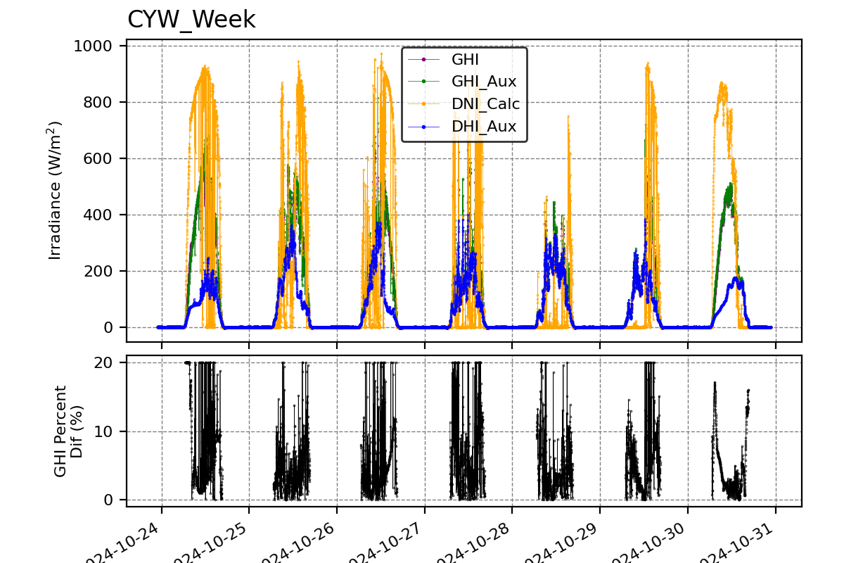
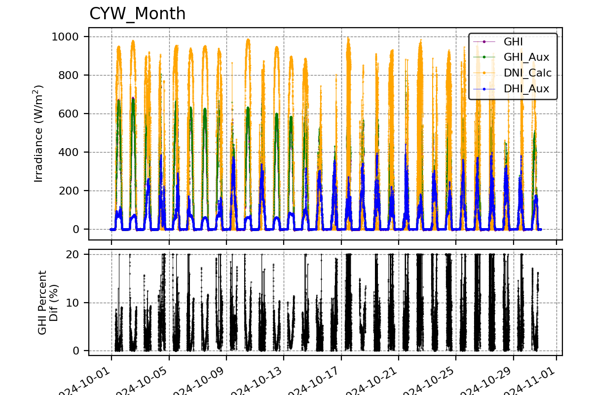
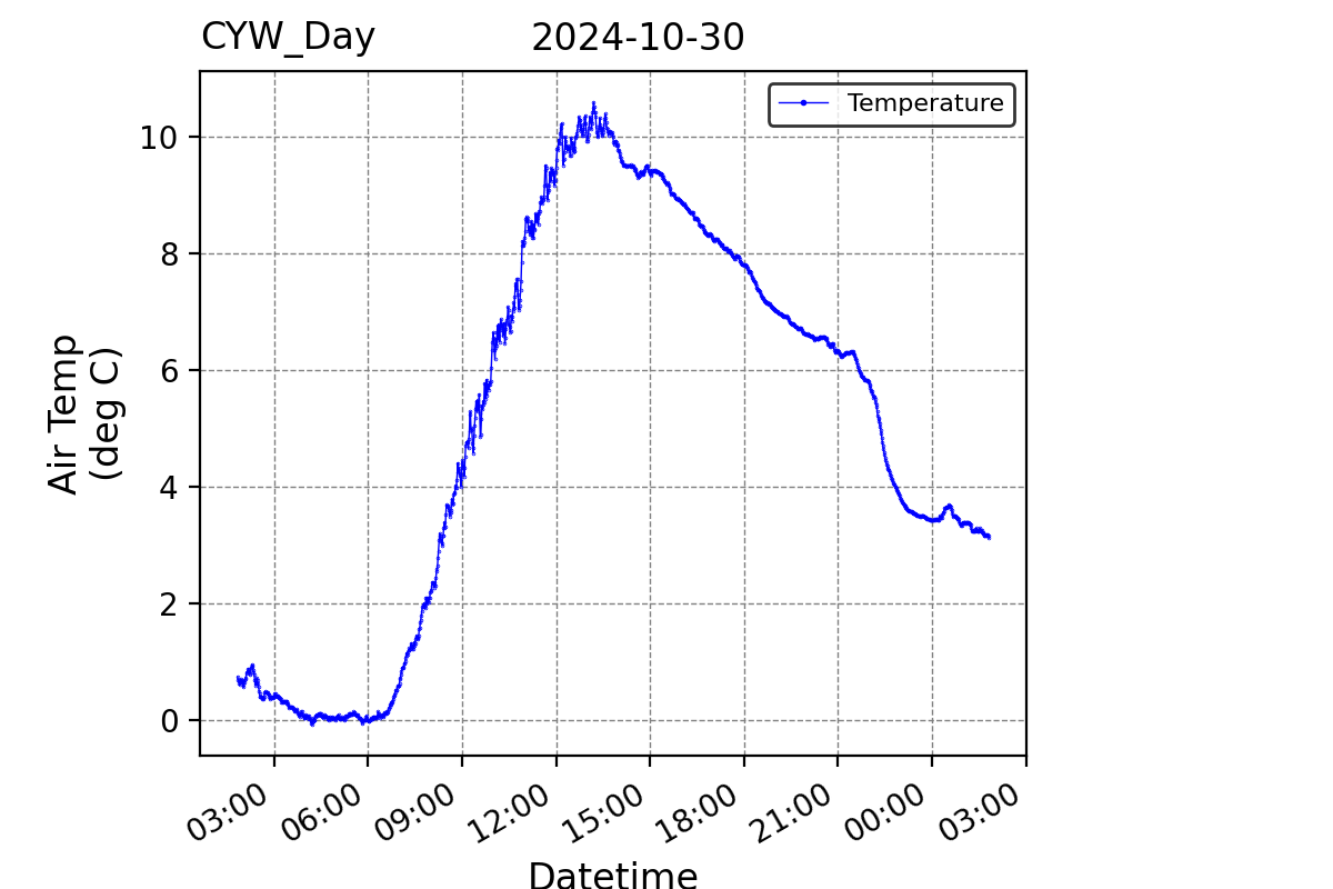
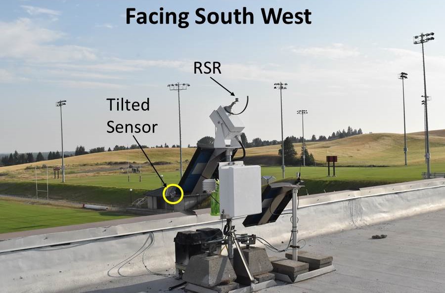
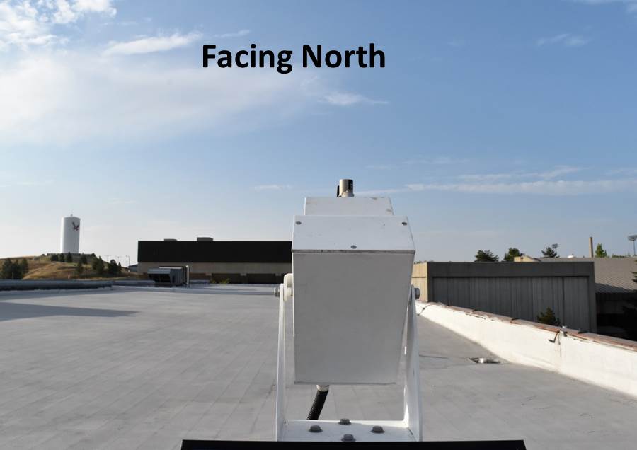
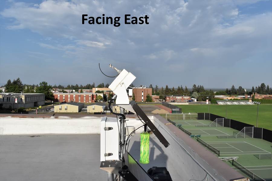
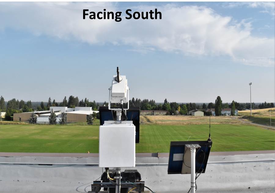
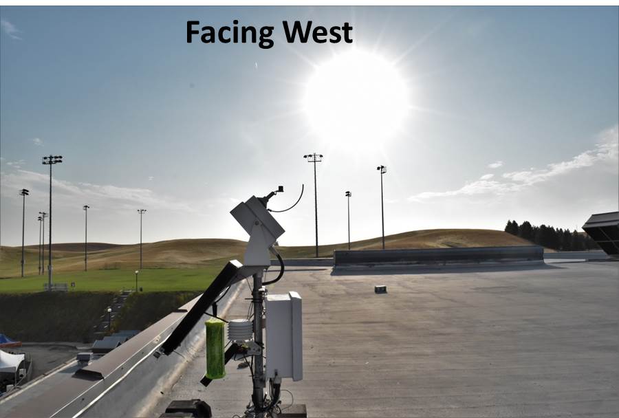
SRML stations: Cheney, WA
Latitude: 47.490 (+N)
Longitude: -117.589 (+E)
Altitude: 777 m
Data download
| Current Month.zip | Previous Month.zip | 2026 (1-Min).zip | 2025 (1-Min).zip |
| 2020-2025 (1-Min).zip | 2011-2019 (1-Min).zip | 2000-2011 (5-Min).zip |
Measurement Code Dictionary Column element lookup table.
Sensor history
| Data type | Instrument | Data interval | Period of record |
| Solar radiation data | |||
| Global | Irradiance RSR | 5 min. | 2000-2011 | 1 min. | 2011-now |
| Direct normal | Irradiance RSR | 5 min. | 2000-2011 | 1 min. | 2011-now |
| Diffuse | Irradiance RSR | 5 min. | 2000-2011 | 1 min. | 2011-now |
| Tilted south 51° | LI-COR Pyranometer | 5 min. | 2000-2011 | 1 min. | 2011-now |
| Meteorological data | |||
| Temperature | 5 min. | 2000-2011 | 1 min. | 2011-now |
Station maintenance
The Cheney station is on the campus of Eastern Washington University. We appreciate the assistance of Dr. Robert Quinn and Ron Hess as station maintenance operator.