
SRML stations: Silver Lake, OR
Latitude: 43.119 (+N)
Longitude: -121.059 (+E)
Altitude: 1324 m
Data download
| Current Month.zip | Previous Month.zip | 2026 (1-Min).zip | 2025 (1-Min).zip |
| 2020-2025 (1-Min).zip | 2011-2019 (1-Min).zip | 2002-2011 (5-Min).zip |
Measurement Code Dictionary Column element lookup table.
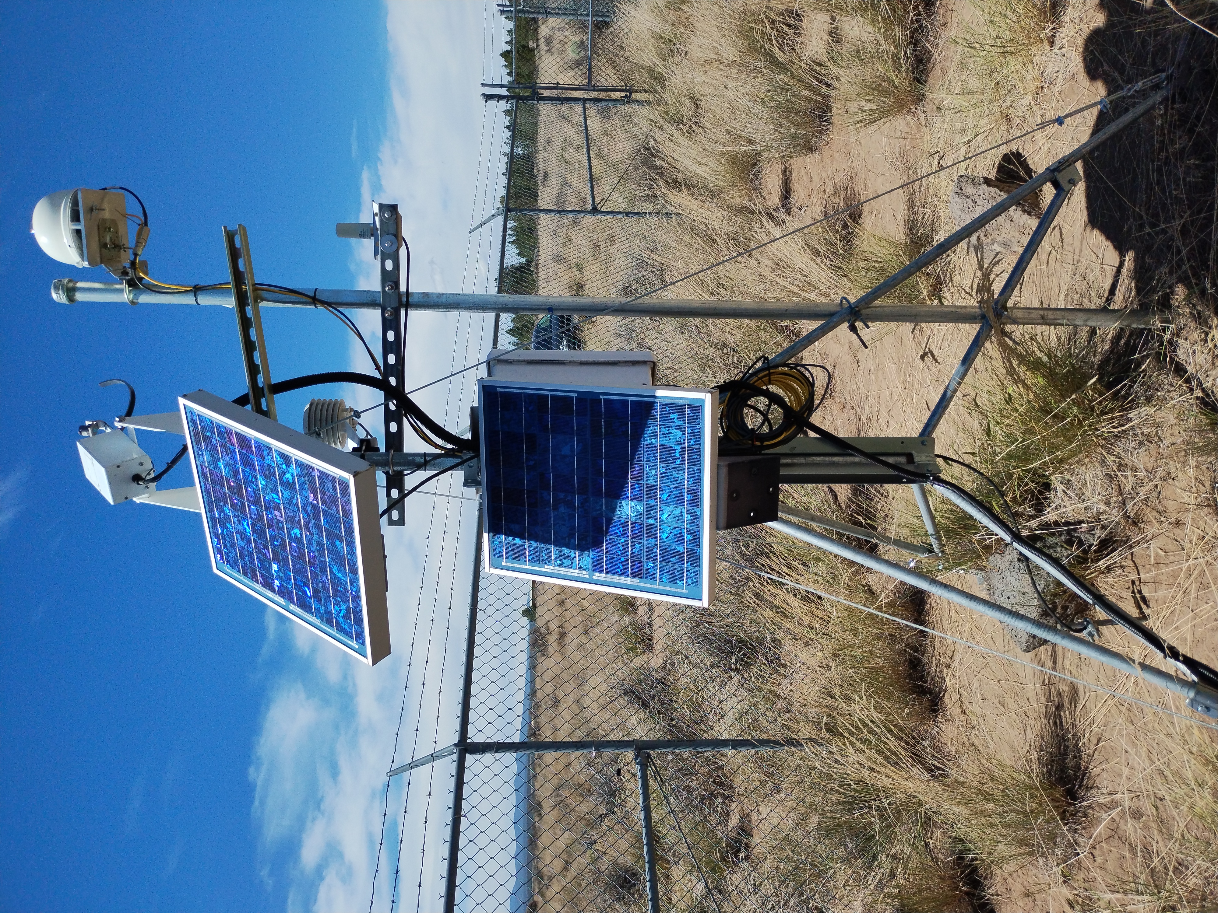
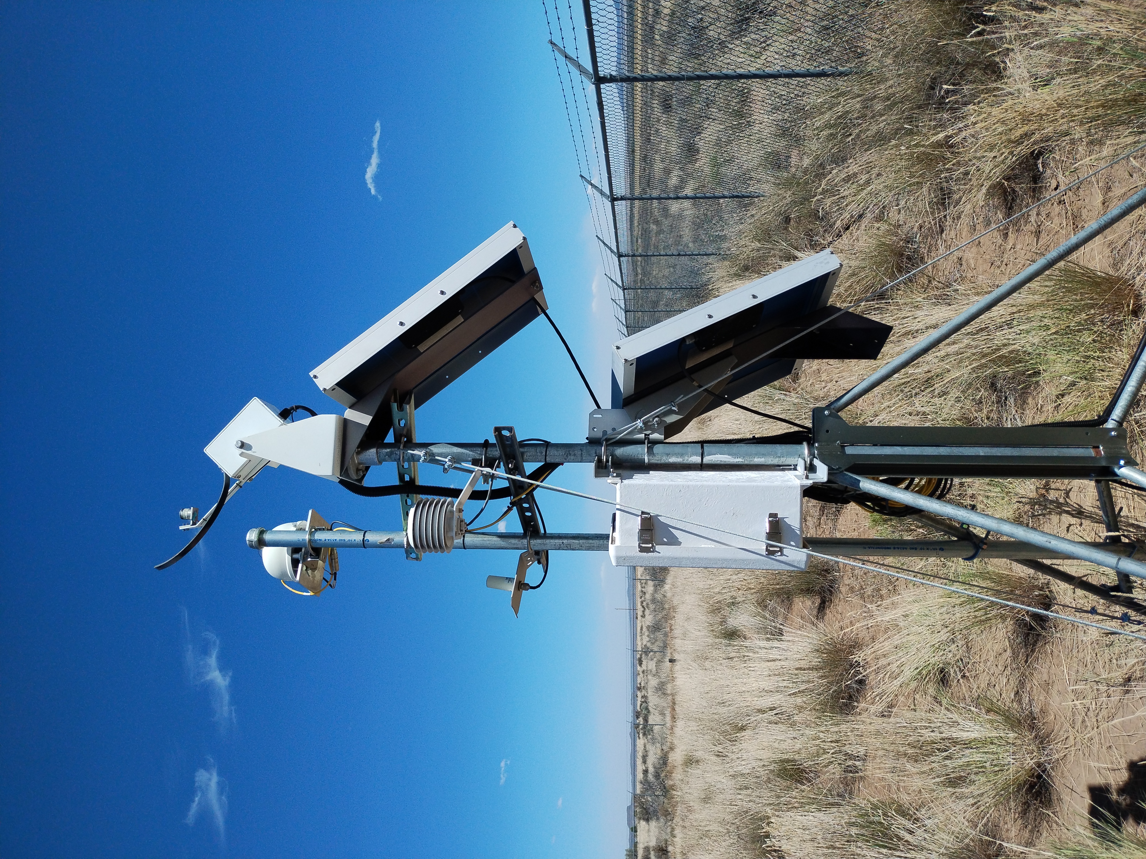
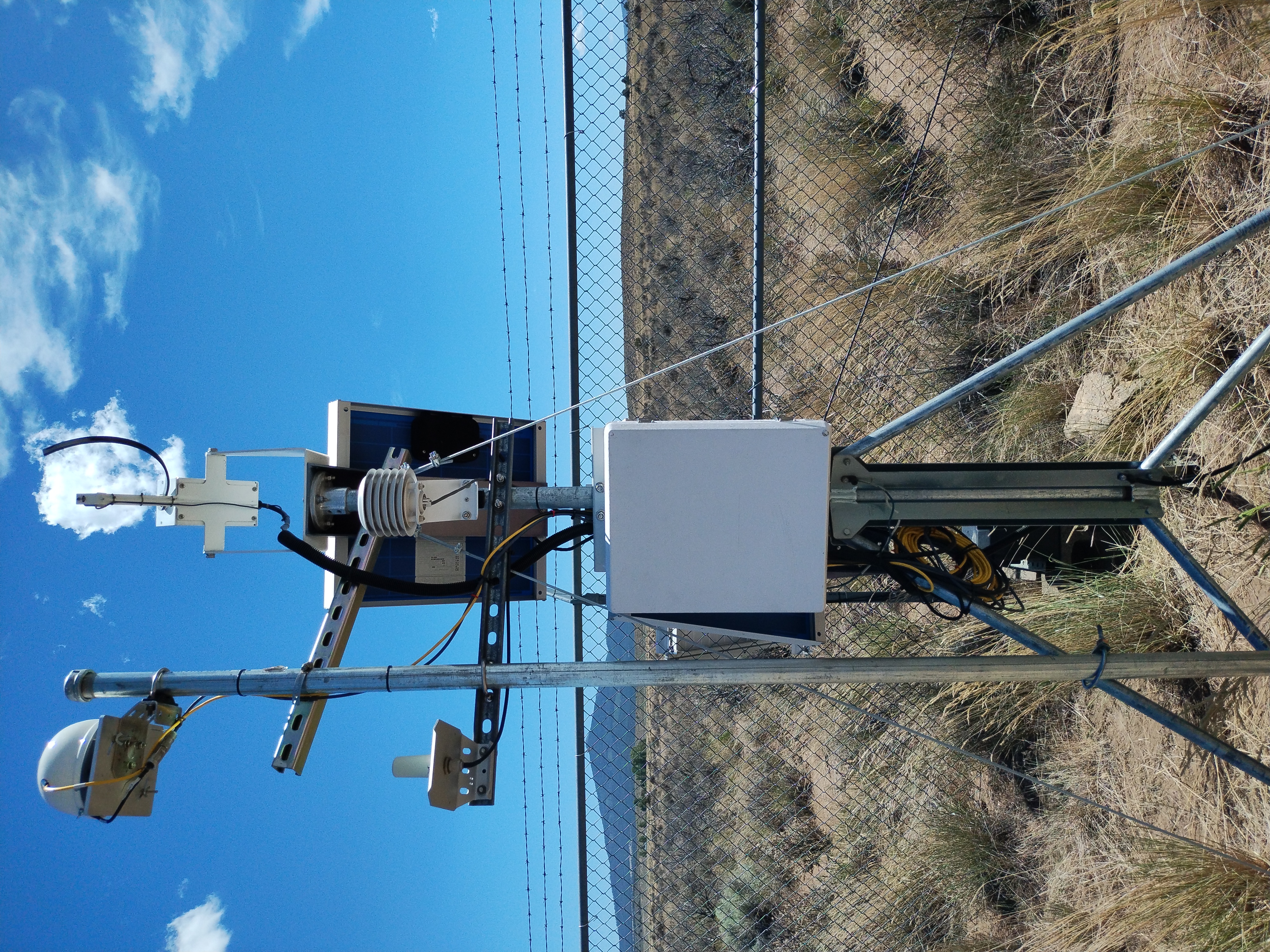
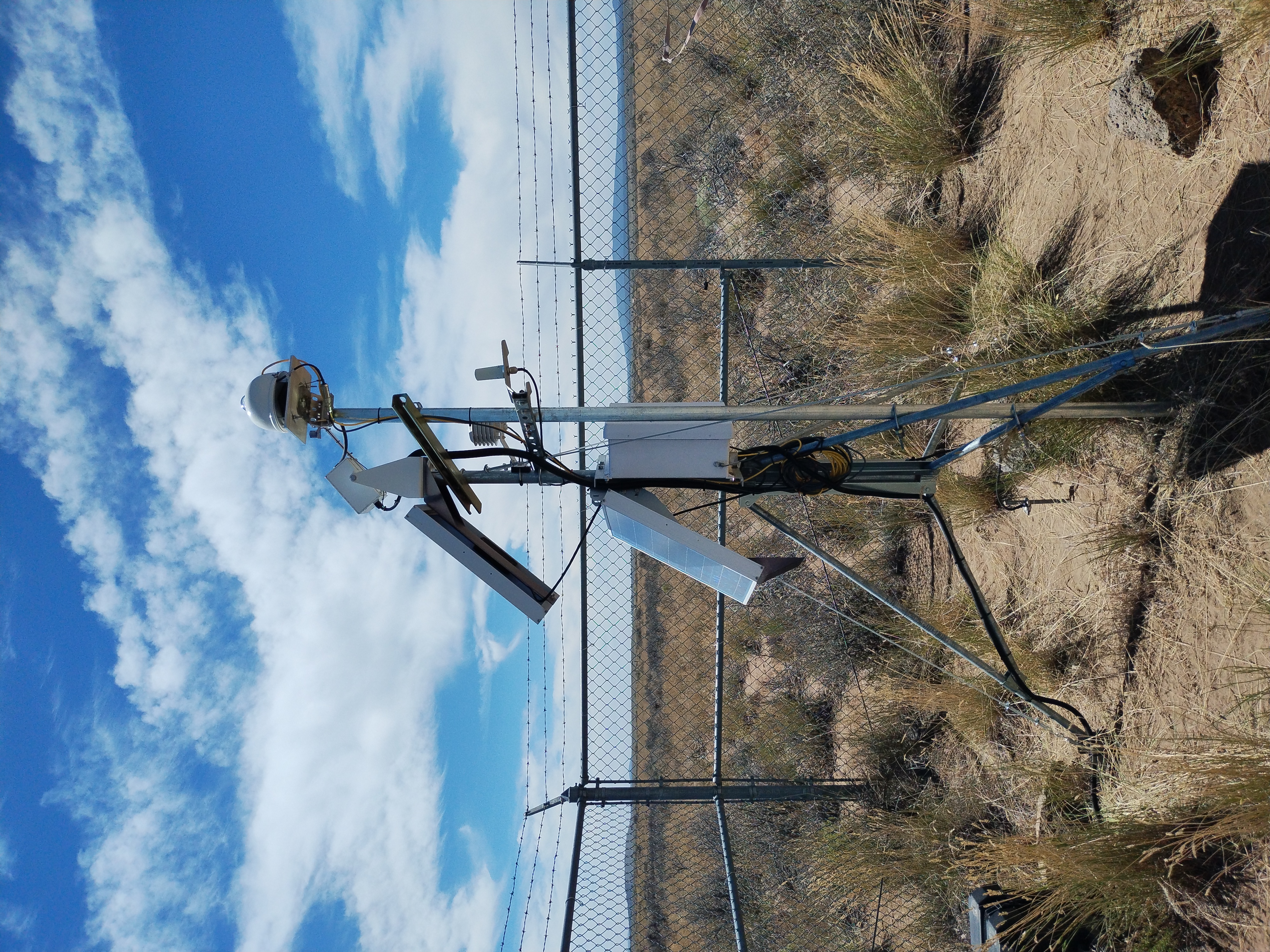
Sensor history
| Data type | Instrument | Data interval | Period of record |
| Solar radiation data | |||
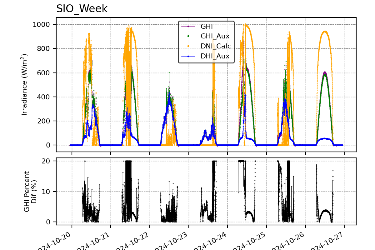
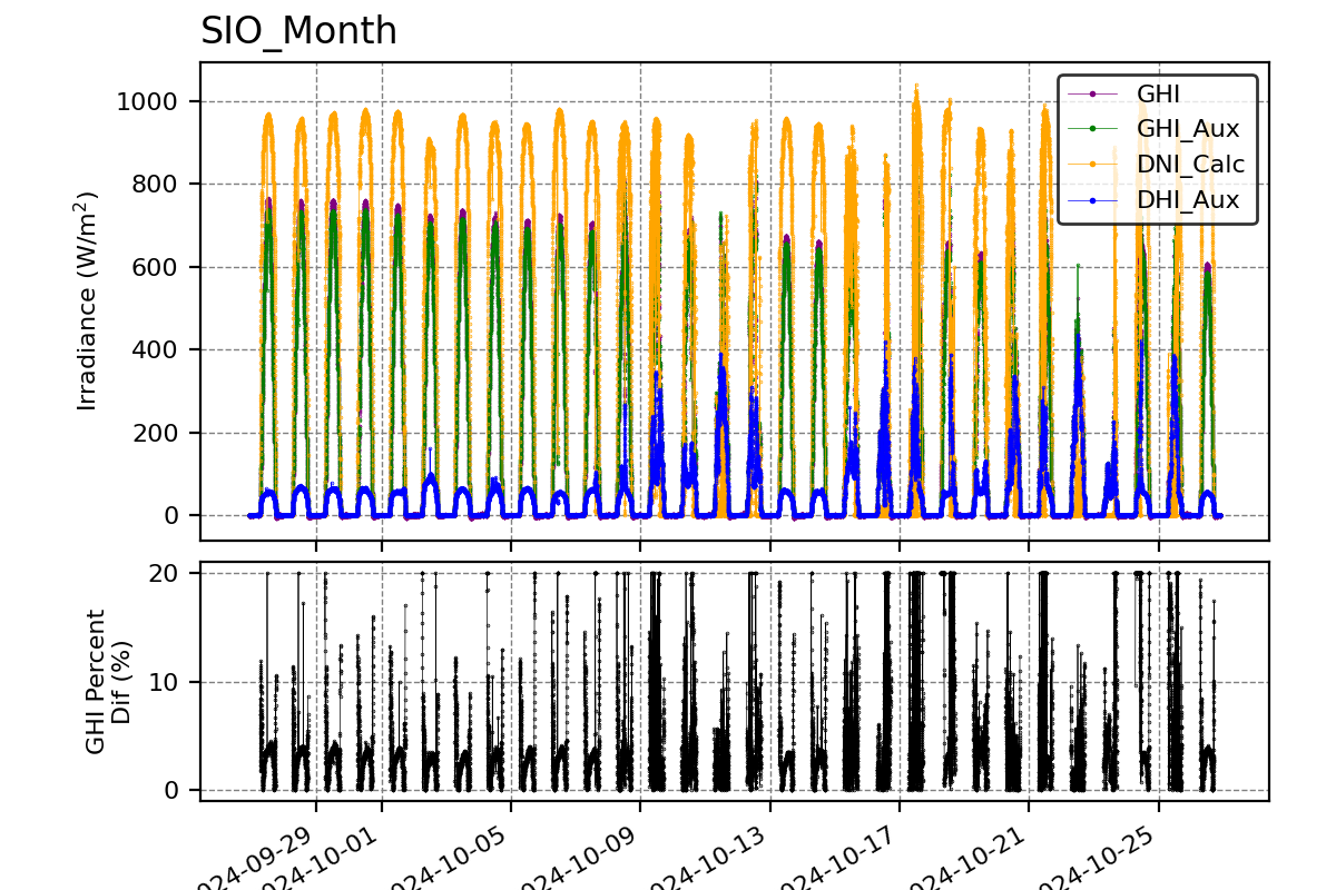
| Global | Ascension Technology RSP | 5 min. | 2002-2011 | 1 min. | 2011-now | Kipp & Zonen CM 11 | 1 min. | 2021-now |
| Direct normal | Ascension Technology RSP | 5 min. | 2002-2011 | 1 min. | 2011-now |
| Diffuse | Ascension Technology RSP | 5 min. | 2002-2011 | 1 min. | 2011-now |
| Tilted South 90° | LI-COR Pyranometer | 5 min. | 2002-2011 | 1 min. | 2011-2022 |
| Meteorological data | |||
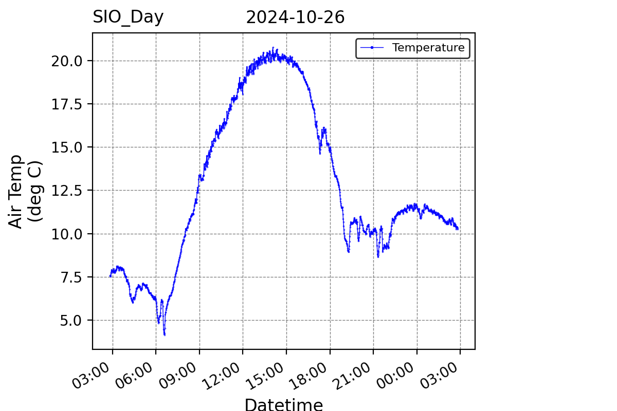
| Temperature | 5 min. | 2002-2011 | 1 min. | 2011-now |